CASA ACCREDITED COMMERCIAL DRONE SERVICES
The commercial Drone industry in Australia has experienced remarkable growth and transformation in recent years, ushering in a new era of efficiency and innovation across various industries.
Remotely Piloted Aerial Systems ( RPAS ) or Unmanned Aerial Vehicles ( UAVs ) are commonly referred to a Drones. Drones have emerged as powerful tools, revolutionizing traditional methods of Data Collection, Mapping, Asset Inspection, Surveillance, Media image / Video capture and more.
Australia's commercial drone sector has witnessed exponential expansion, driven by advancements in technology, regulatory frameworks and the recognition of their diverse applications. These aerial vehicles are increasingly integrated into industries such as Agriculture, Construction, Mining, Energy, Real-estate, Environmental monitoring, and many more.
The benefits they bring to the table are multifaceted and compelling offering and array of advantages when compared to traditional methods.
This transformation is not merely a technological evolution but a paradigm shift that promises increased efficiency, reduced costs, enhanced safety and access to data from vantage points that were previously inaccessible.
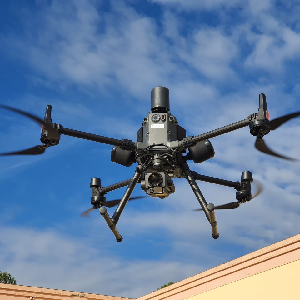
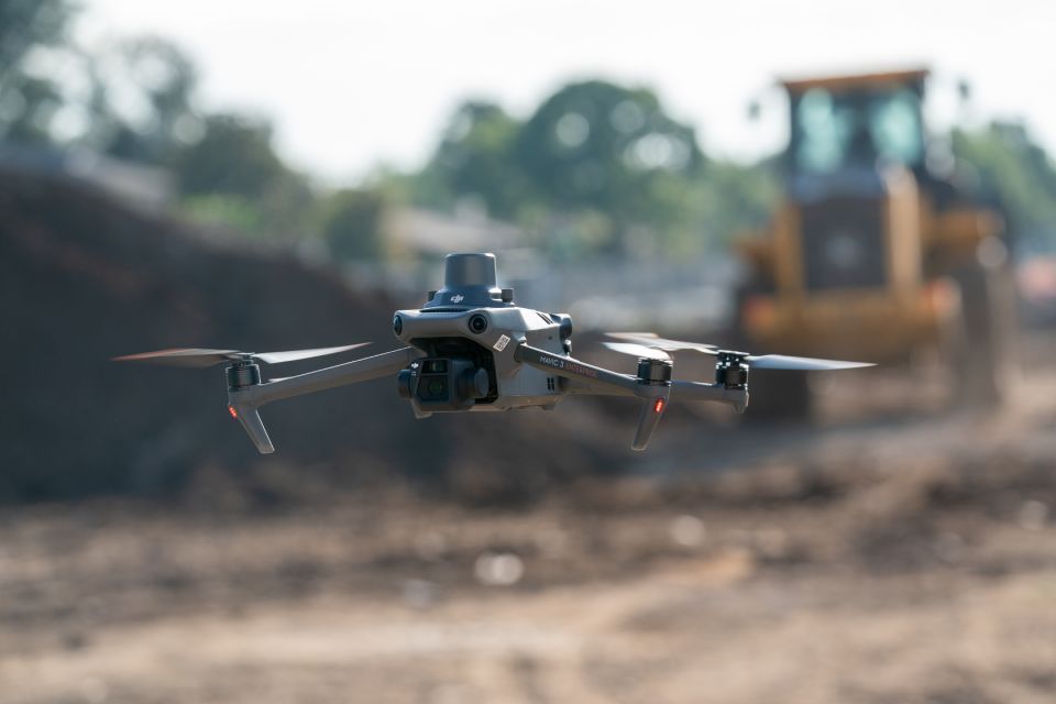
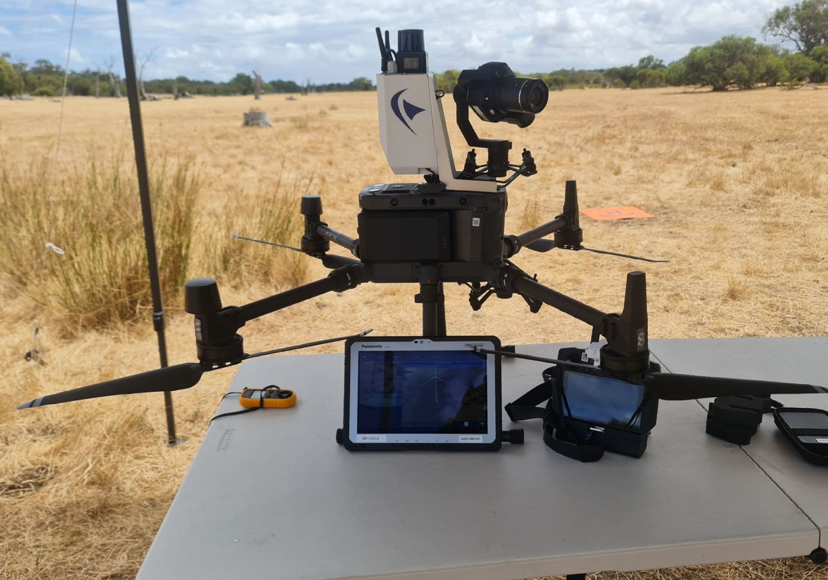
SKYSCAN GEOMATICS is a certified by Civil Aviation Safety Authority (CASA) to undertake commercial Drone operations throughout Australia. We operate under a CASA issued Remote Operations Certification ( ReOC ) and specialise in providing Safe Technical Drone solutions and quality deliverables. We achieve this by harnessing state of the art Drone Technology, Camera & Sensor Platforms, Combined with Highly skilled CASA Certified Pilots and Powerful software.
Our team proudly conducts Drone Aerial Mapping and Drone Inspection Services for worksites across the Mining, Energy, Agricultural and Construction industries. We are Based in Perth Western Australia however we are Licensed to operate in all Australian States and Territories.
Skyscan Geomatics are one of a smal number of Drone Service Business that are Authorised by CASA to perform Enclosed Beyond Visual Line of sight ( EBVLOS) flight operations allowing us to conduct drone flights in complex environments such as Confined Spaces, Pipe Netowrks, Underground Tunnels, Mines and Cave Systems.
Please feel free to further explore our website to learn more about us, our range of services and how to get in touch with our team members
Qualified Experts
Our team consists of highly experienced industry professionals that are accredited to safely operate our drone technology through out Australia. All Pilots are highly trained and licensed by the Civil Aviation Safety Authority CASA.
Skyscan Geomatics are also one of a small number of Drone businesses that are authorised by CASA to conduct EBVLOS operations allowing us to fly Beyond Visual Line of sight in complex operating environments such as Confined Spaces, Pipe Networks, Tunnels, Caves and Underground Mines
SKYSCAN GEOMATICS operate under a CASA Remote Operations Certificate ReOC # 1576 ensuring all commercial drone operations are conducted safely, adhering to all CASA Laws and Regulations and implementing industry best practices.
Fully Insured
Having drones fly around over expensive assets and infrastructure can be concerning. Our clients will have a stress-free and productive experience working with us as we are a fully insured Drone Services Business and take Drone safety extremely seriously.
Attention to Detail
Our dedicated team members are always focused on every single detail of our flight operations including the quality of the data we are capturing ensuring safe execution and providing Quality Deliverables whilst being cost effective compared to traditional methods.
- Skyscan Geomatics focus on Safety, Accuracy and Quality.....
- Our dedicated Chief Remote Pilot and team members are always focused on every single detail of our flight operations. From the Initial Planning Stages, Operational Risk Assessments, Obtaining CASA approvals if required, Ensuring the proposed operations meet CASA Part 101 regulations and requirements, Through to execution and post processing of the captured data ensuring our clients have a seamless, positive experience and are provided with quality data and deliverables with the goal of always exceeding our clients individual criteria.
- We can deploy our drone technology across a wide variety of settings, whether that is in urban environment, complex enclosed or underground environments and throughout remote Australia. Many of our clients are situated in rural remote worksites and we have a dedicated team in place to assist them.
- No matter the location, We strive to provide solutions which helps our clients enhance their business practices, increase Productivity, Remove people out of Hazardous Environments , As well as reduce their operating costs compared to traditional methods..
- By utilising Skyscan Geomatics you are able to capture data and keep all stakeholders up-to-date enabling accurate decision-making no matter what stage your project is at.
With modern drone technology, Skyscan Geomatics offers clients in-depth Aerial data capture services suitable for many industries.
Contact our team for a No Obligation discussion on how we can assist you.